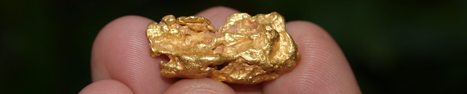
The Coquille River may be home to some of Oregon’s most overlooked gold deposits. While nowhere near as rich as some of the surrounding area, people have been sifting gold from the gravels along the river since the early days of the Oregon gold rush.
Situated in the Southern Oregon Coast Range, this is a fairly small river system that drains the waters of Coos County.
Established Gold Mines in the Coquille Basin
A few scattered hard rock gold deposits are likely responsible for most of the placers found throughout the river. One of these was the Independence Mine, located near the town of Powers.
The Coarse Gold Mine was situated along Johnson Creek, a tributary of the South Fork of the Coquille River. Gold can be found in many of the drainages around Poverty Gulch and Granite Peak.
A short distance to the north is the Salmon Mountain Mine. The headwaters of Salmon Creek that flow into the Coquille River at Powers are all worth exploring.
Placer Deposits
Most prospectors focus their efforts along the South Fork Coquille River, but panning the gravels farther north as far as Myrtle Point can also be productive. Keep an eye out for bench and terrace gravels above the current river levels, as these can often contain gold too.
As you follow the river closer to the ocean, it gets larger and siltier, and less productive for mining. This is a coastal river which is effected by tides. Keep this in mind when working along the bank.
Gold at Bandon
Interestingly enough, most of the mining activity that occurred in this area took place on the beaches near the mouth of the Coquille River. Both north and south of Bandon were some very rich beach deposits. Heavy black sand concentrations contained gold that were worked by miners.
These were challenging gold deposits to work, since the gold here is extremely fine. The crude methods of the mid-1800s undoubtedly missed a lot of this fine gold, but some of these beach deposits could still be worked profitably nonetheless.
The gold sources along the Coquille River were likely the source of much of this beach gold. Other sources include both Cut Creek and Whiskey Run Creek, both just north of Bandon. Mines in this area processed ancient beach sands well above the current sea level.
Gold Panning Access on the Coquille River
Finding good access to pan along much of the Coquille River is going to be challenging. The ground along most of the river near Powers and Myrtle Point is private land. The exception is at the headwaters of the South Fork Coquille River, which flows through the Siskiyou National Forest.
This is where you are most likely to find open ground to prospect. You can take the road that follows up the river toward Agness Pass and drops down into the Rogue River Valley. You will find many campgrounds along the river here.
A noteworthy areas is near the China Flat Campground. At one time there was a very large mining settlement here. To the west is Johnson Mountain, and a fair amount of historic mining took place here. In the 1860s and 1870s, many Chinese miners had placer mines along this section of the Coquille River. They also worked the gravels of China Creek, Johnson Creek, and many of the small tributaries that flow off the mountain.
While forest land is generally open to prospecting, you will want to be aware of active mining claims in the area. Often the main creeks with good access are claimed, and it will take some hiking away from the roads to access areas that are still open for casual prospecting.
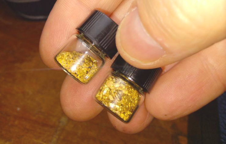
There is still decent gold in the Coquille River. While it gets overlooked in comparison to the other major gold strikes in Southwest Oregon (Applegate, Rogue, Umpqua, etc.), there is still some decent “color” that you can pan from the gravels.